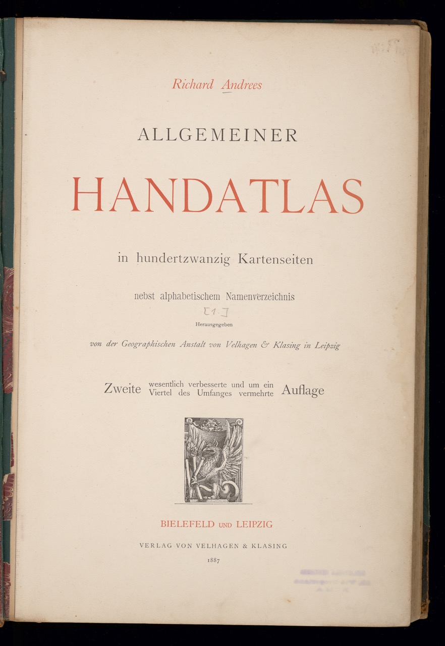
Richard Andree: Allgemeiner Handatlas in hundertzwanzig Kartenseiten nebst alphabetischem Namensverzeichnis [1881], ed. Geographische Anstalt von Velhagen & Klasing in Leipzig, 2nd ed., 2 vols., Bielefeld/Leipzig: Velhagen & Klasing, 1887–1889, vol. 1 (1887)
Signature: Zh 300-4800/a1 gr
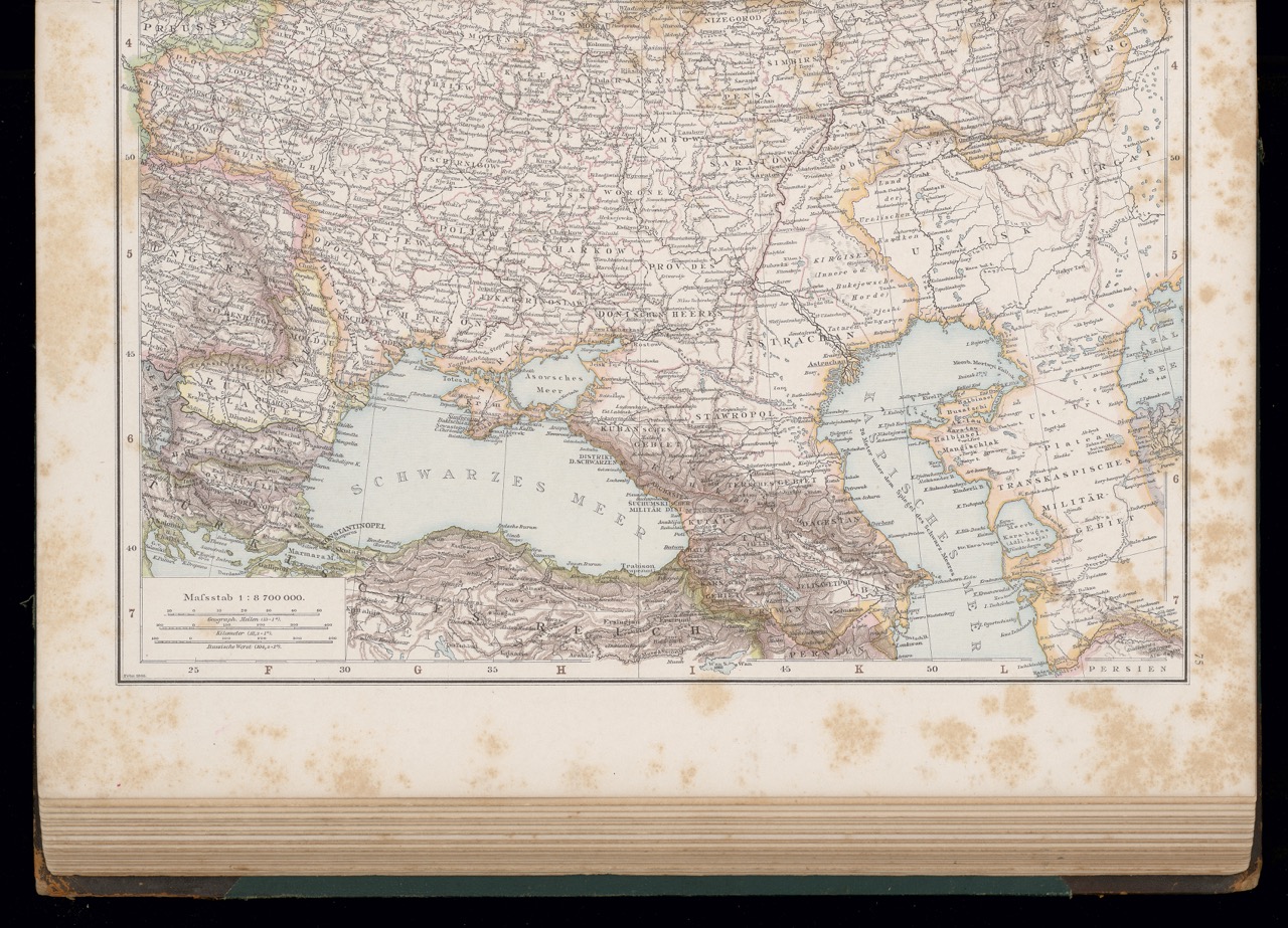
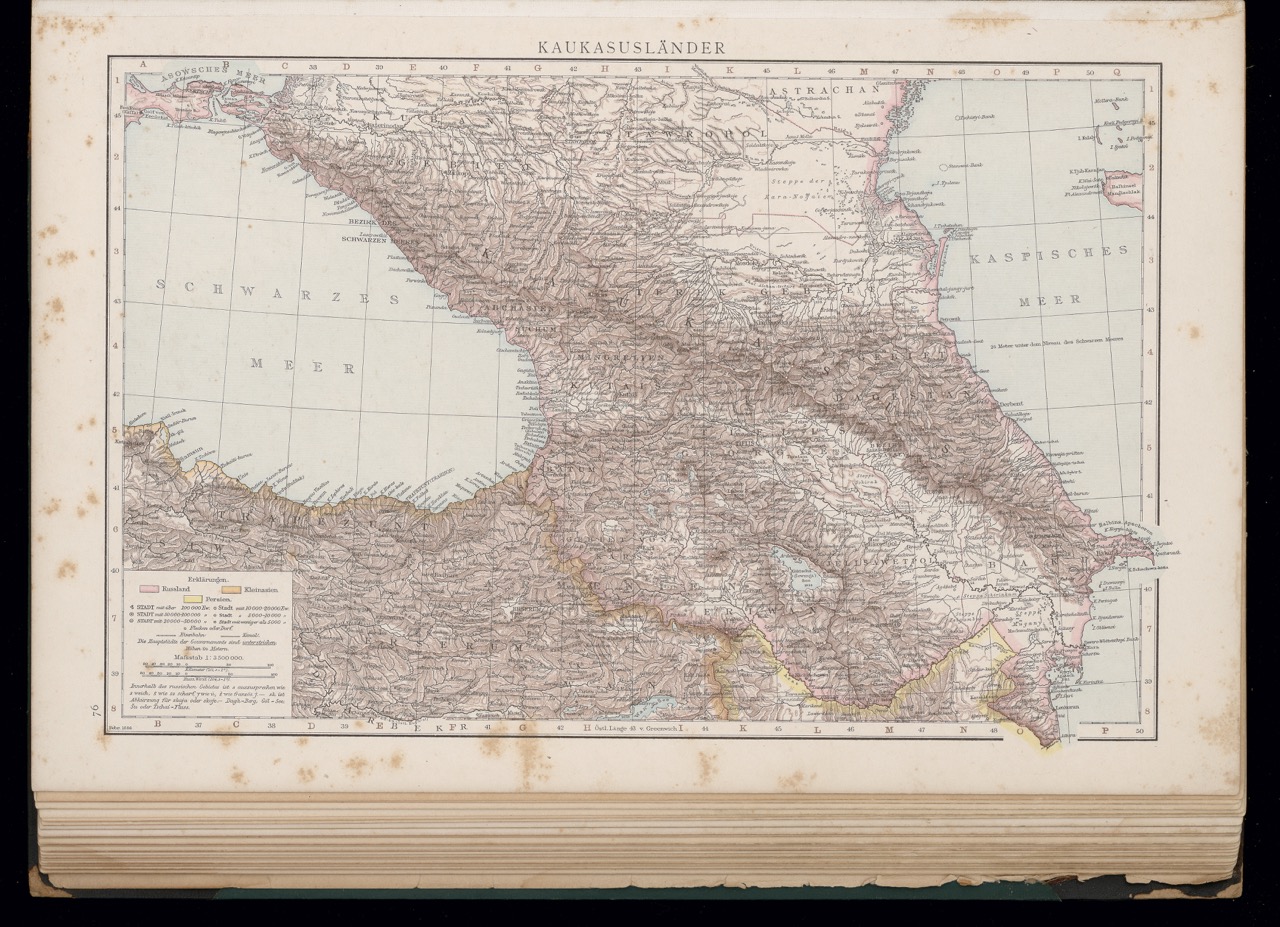
Figures: Cover; Frontispiece; maps 74 and 75
Richard Andree (1835–1912) studied geology in Braunschweig and Leipzig. In the following years, however, his interest shifted to geography and comparative ethnology. Like his father, the geographer and publicist Karl Andree (1808–1875), he used both disciplines as a vehicle for spreading racial anthropological ideology. Andree was a co-founder and director (1873–1890) of the Cartographic Institute of Velhagen and Klasing in Leipzig, which published his Handatlas in 1881. Various cartographers and geography institutes were involved in the production of the book.
By 1937, nine editions had appeared. Starting with its sixth edition (1914), this work represented the most extensive German map compendium of the time. Furthermore, multiple versions appeared in Austria-Hungary, Sweden, Denmark, Norway, Finland, France, and Italy. From 1882 on, the Handatlas was also accompanied by a geography handbook. Zinc plates and relief printing were used to create the maps, allowing cheap production as well as fine gradations of color to mark national, religious, and ethnic boundaries. Today’s territory of Ukraine is represented by the map of European Russia, which follows the territorial division of the region after the Congress of Vienna. [TT]
Link Kubikat
Link Digitized Volume