Karl Sohr: Eisenbahn- und Dampfschiffrouten-Karte von Europa, Glogau: Carl Flemming 1891
Signature: Zh 305-4910
Figures: Cover; Map; Details
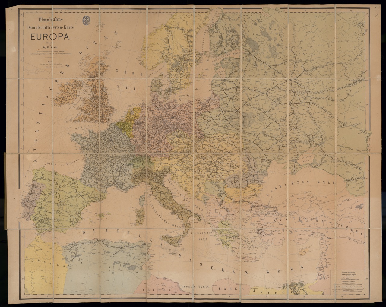
The map of European railway and steamship routes by a certain Dr. Karl Sohr was published by Carl Flemming (1806–1878) in Glogau and reached its 34th edition in 1901. At the time, the publishing house had dominated the German market for youth literature. In parallel, it focused on geography textbook and reference work publications as teaching aids for school lessons. Many other maps appeared there bearing the name Sohr, such as the frequently reissued Hand-Atlas der neueren Erdbeschreibung (1844), which comprised 80 maps. Sohr, however, is a fictitious academic author created by Flemming, to give his Hand-Atlas a good start on the book market (cf. Bonacker 1963).
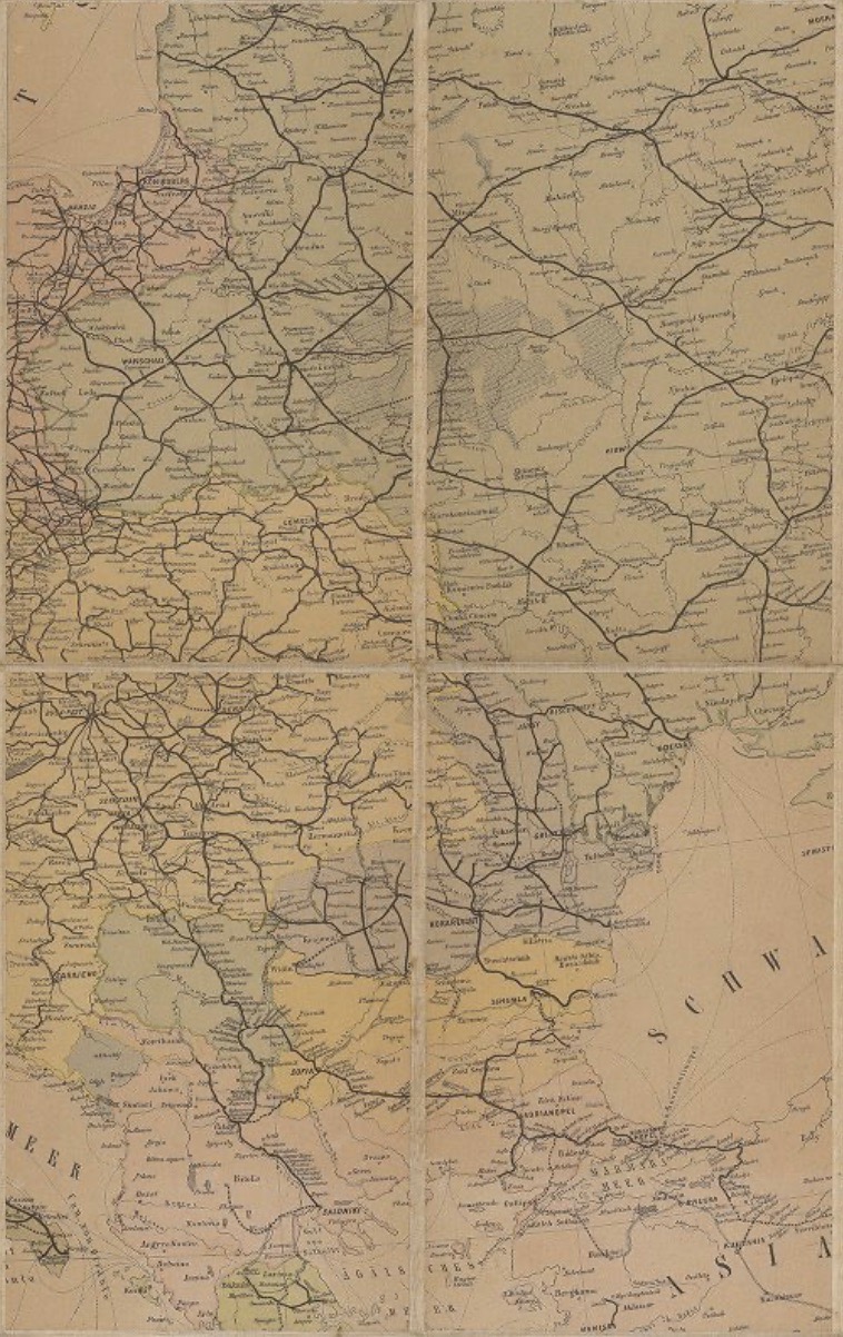
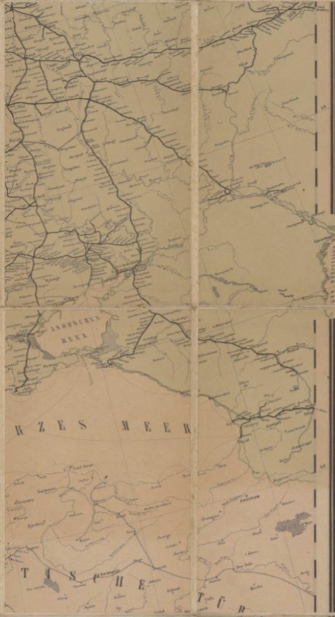
The foldable railway and steamboat map consisting of 32 single sheets drawn on canvas is handy, robust, and therefore useful for travelers of all kinds. In addition, the map was used in kontors and public administration offices. The network of modern transport routes impressively illustrates the possibilities of mobility that were open to travelers in Europe around 1900. According to the plan, the railway station in L’viv (Lemberg) served as the western gateway for Ukraine travelers, which engendered routes leading to the south, towards Odesa, and the east, towards Kyiv and Kharkiv. [TT]
Link Kubikat
Link Digitized Volume