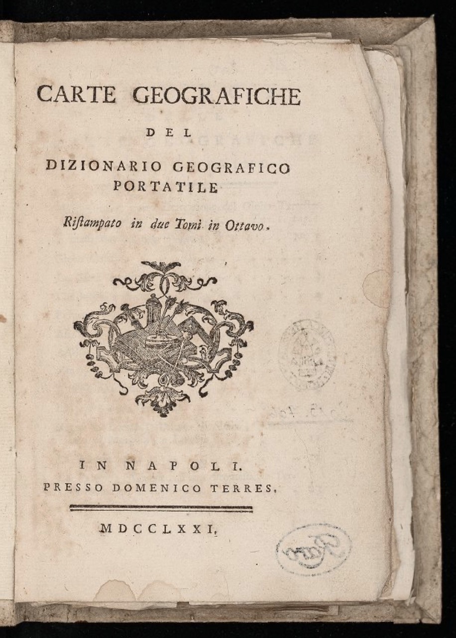
Laurence Echard: Carte Geografiche Del Dizionario Geografico Portatile, Napoli: Presso Domenico Terres 1771
Signature: Ah 100-3710/3 raro IV
Figures: Frontispiece; pl. I.5; II.4; II.5
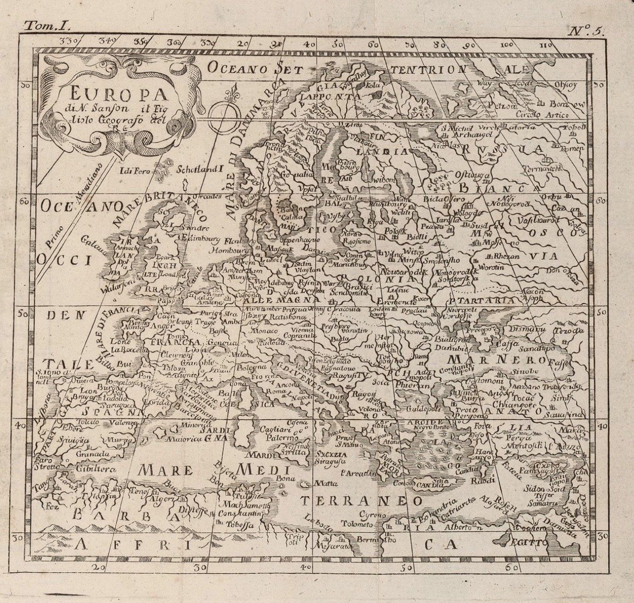
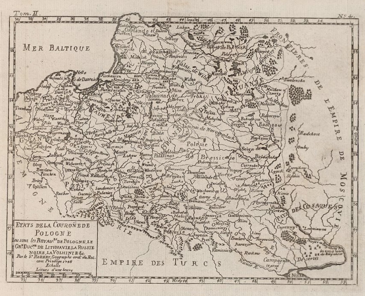
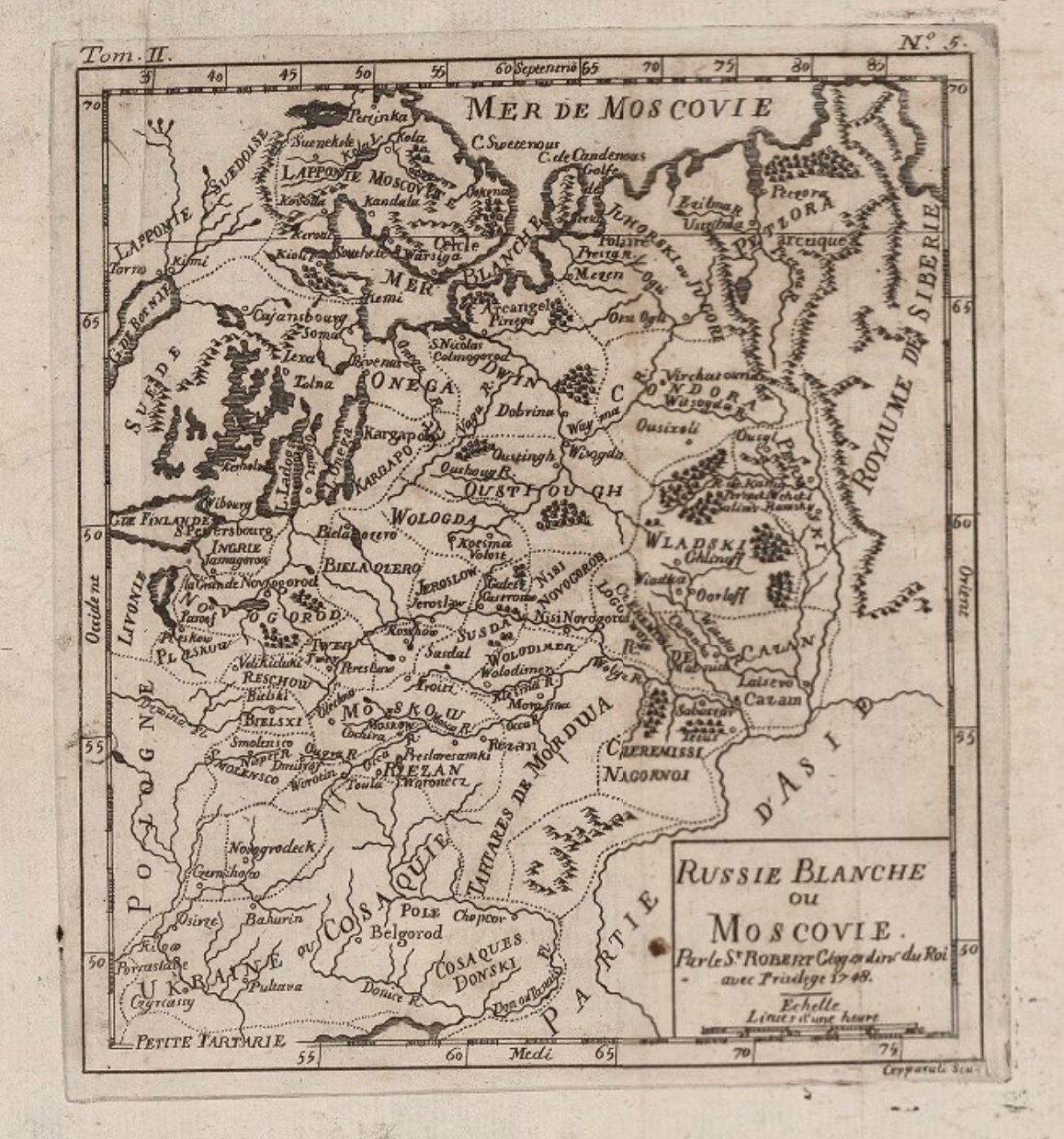
A hybrid publication from 1771 combines an Italian translation of a French edition of the 1715 Classical Geographical Dictionary printed in London with a series of maps derived from several authors. Among others, they include Nicolas Sanson d’Abbeville (1600–1667) and Gilles Robert de Vaugondy (1688–1766), Royal Geographers to subsequent kings of France. Robert’s 1748 map of the “White Russia or Muscovy” is itself largely reliant on Sanson’s prototype of 1679 and the geographic understanding of authors predating the publication by several decades. The territory of Ukraine is twice marginalized within this global publication. While the text acknowledges Crimea and Ukraine as highly fertile, or even as the legendary ‘land of milk and honey’ (Dizionario geografico portatile, vol. 2, p. 482), their neglected state is emphasized within the limited contemporary information presented. Furthermore, placed in the map’s bottom left corner, it assumes a cartographically reduced status as borderland between Poland-Lithuania, Russia, and the Crimean Khanate. Such relegation is further reinforced by the volume’s arrangement, whereby, in defiance to imprinted numbering, Eastern Europe and the Iberian Peninsula are relegated to the end of the sequence as two of the continent’s outermost peripheries. [AM]
Link Kubikat
Link Digitized Volume