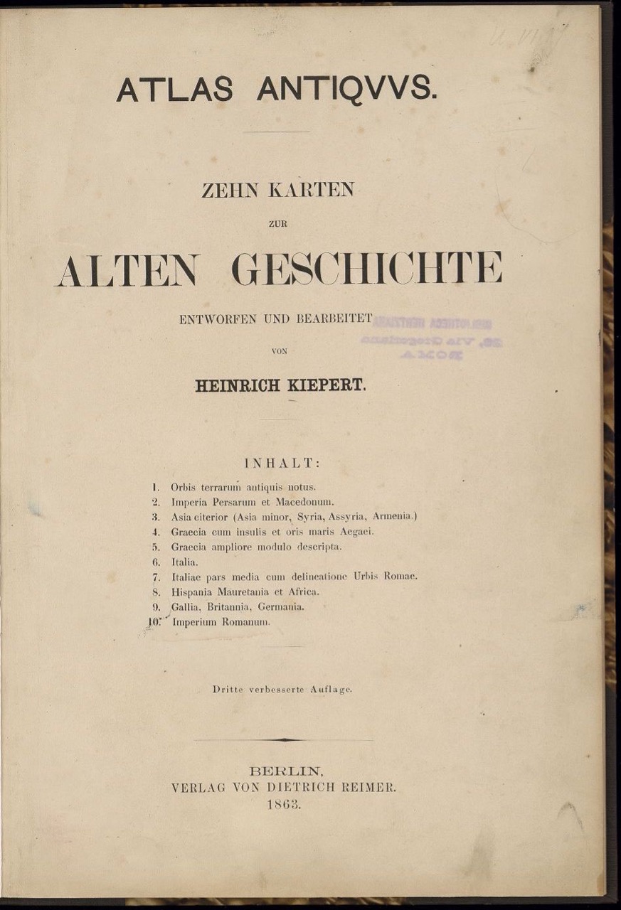
Heinrich Kiepert: Atlas Antiquus. Zehn Karten zur alten Geschichte [1861], 3rd ed., Berlin: Dietrich Reimer 1863
Signature: Zi 100-4610/b raro VII
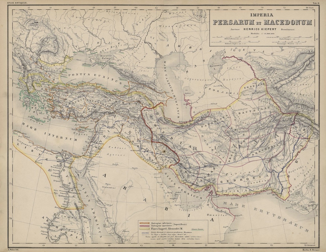
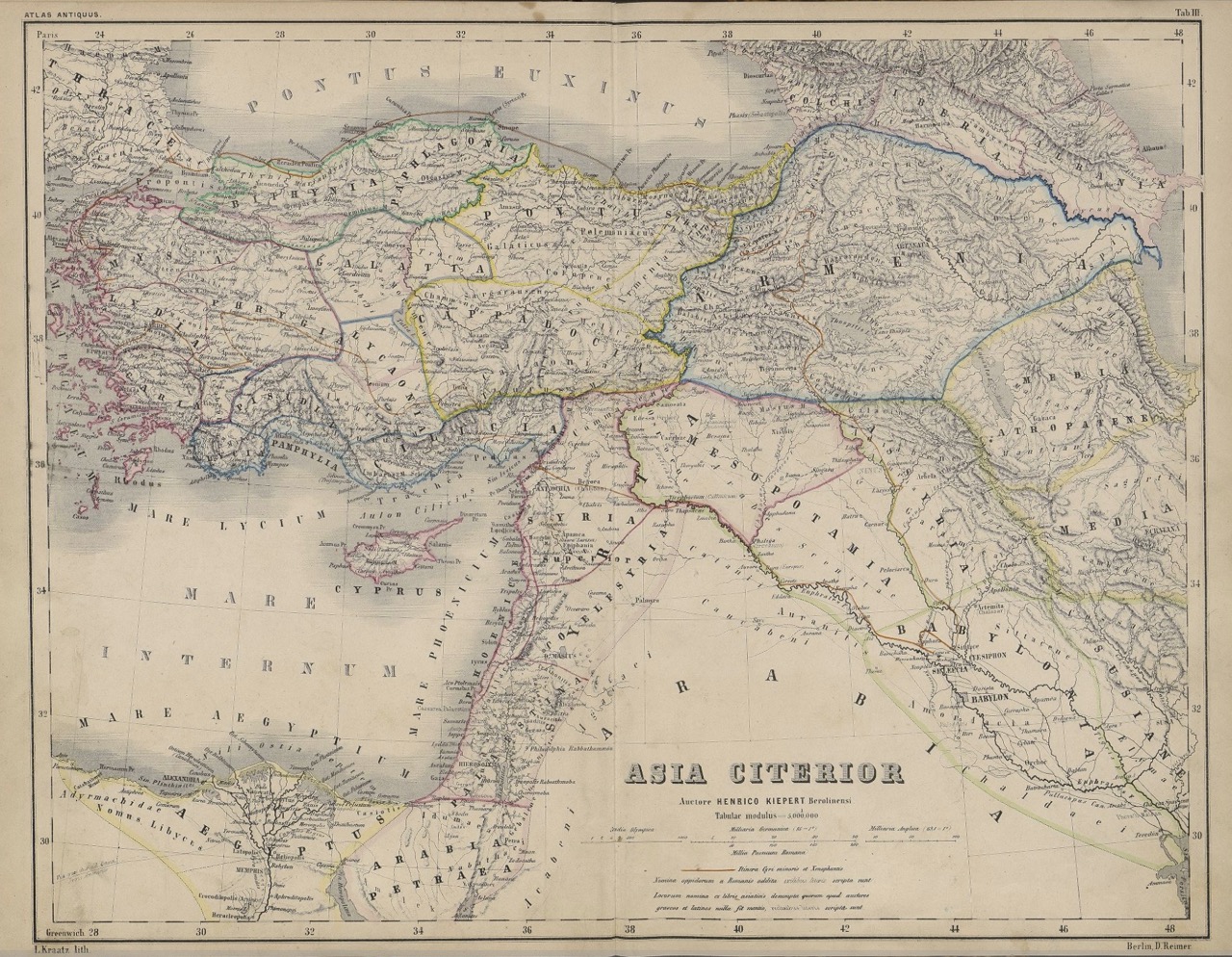
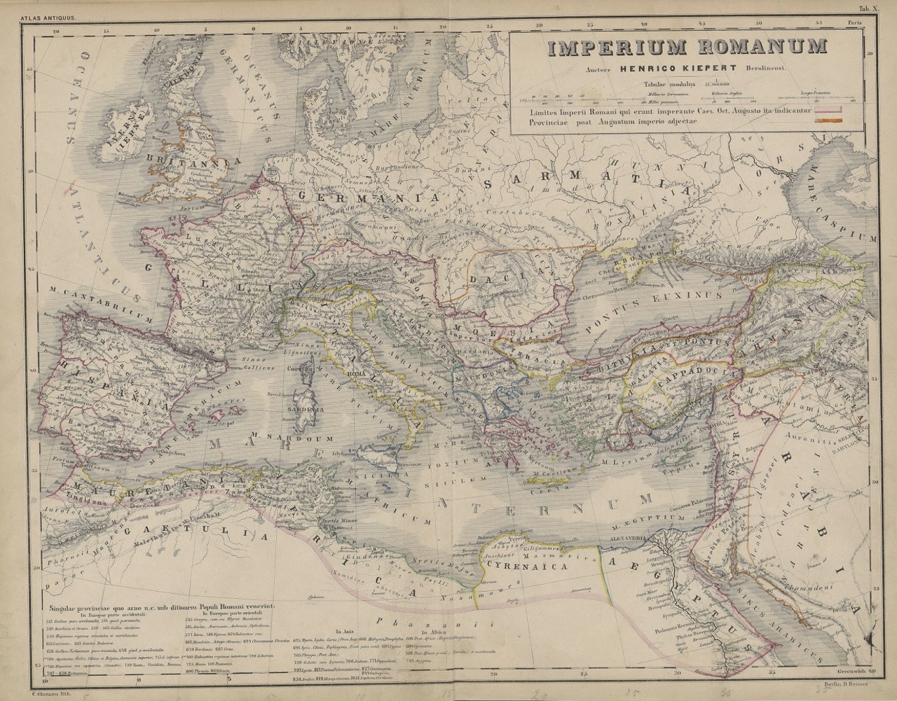
Figures: Frontispiece; Tab. 2, 3 and 10
Heinrich Kiepert’s (1818–1899) Atlas Antiquus originally contained ten historical-topographical maps when it was first edited in 1861 and underwent repeated revisions thereafter. By 1896, twelve editions had been published, supplemented with two more maps. In addition, special editions were published in Russia, England, the Netherlands, Italy, France, and the USA. Originally designed as a textbook for German secondary schools (Gymnasium) to be consulted in geographical as well as in historical and philological classes, 300,000 copies of this work were ultimately sold.
Kiepert, one of the most important geographers of his time, became a member of the Prussian Academy of Sciences in 1853, was appointed associate professor at Friedrich Wilhelm University in Berlin in 1859, where he was promoted to full professor of geography in 1874. His legacy was primarily in the field of antiquity research in the medium of constructive cartography, which he mastered through his extensive knowledge of historiographical, ethnological, and linguistic sources and his numerous expeditions within Europe as well as in Asia Minor and the Orient. Kiepert’s geographical focus also included the Black Sea region, whose changing territorial affiliations are represented in Atlas Antiquus. [TT]
Link Kubikat
Link Digitized Volume