Nicolas de Fer: Petit et Nouveau Atlas, Paris: Sr. de Fer 1697
Signature: Zh 300–2970 raro IV
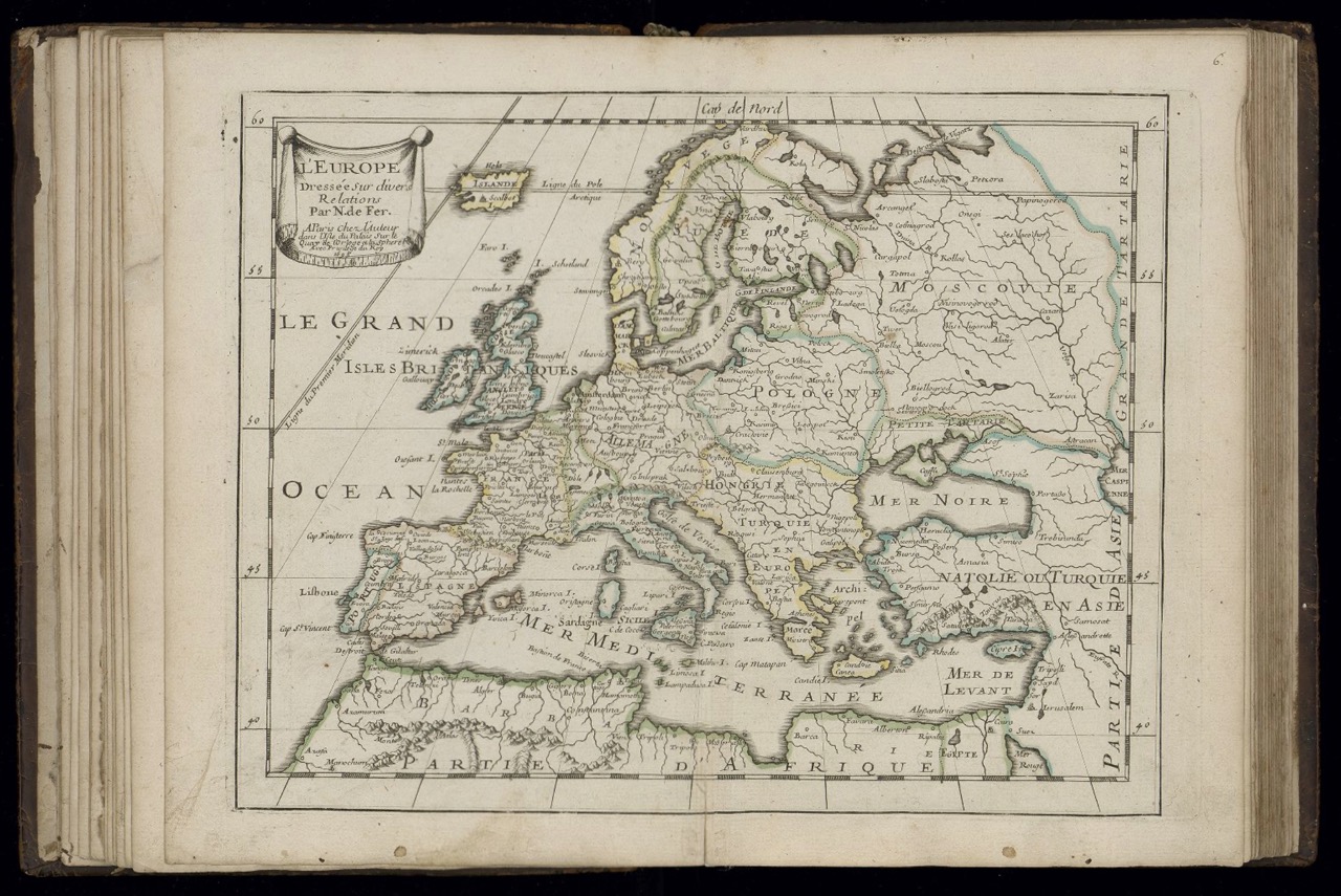
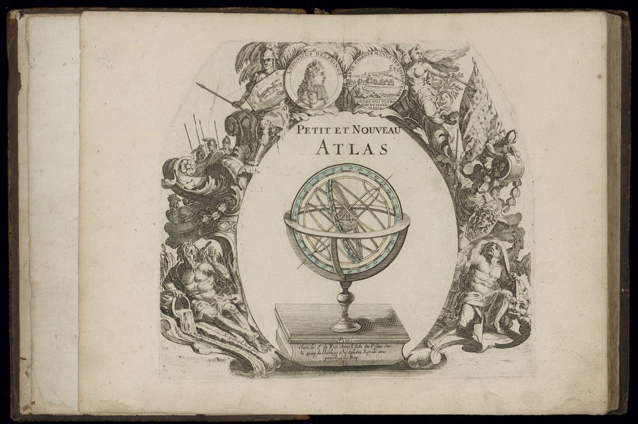
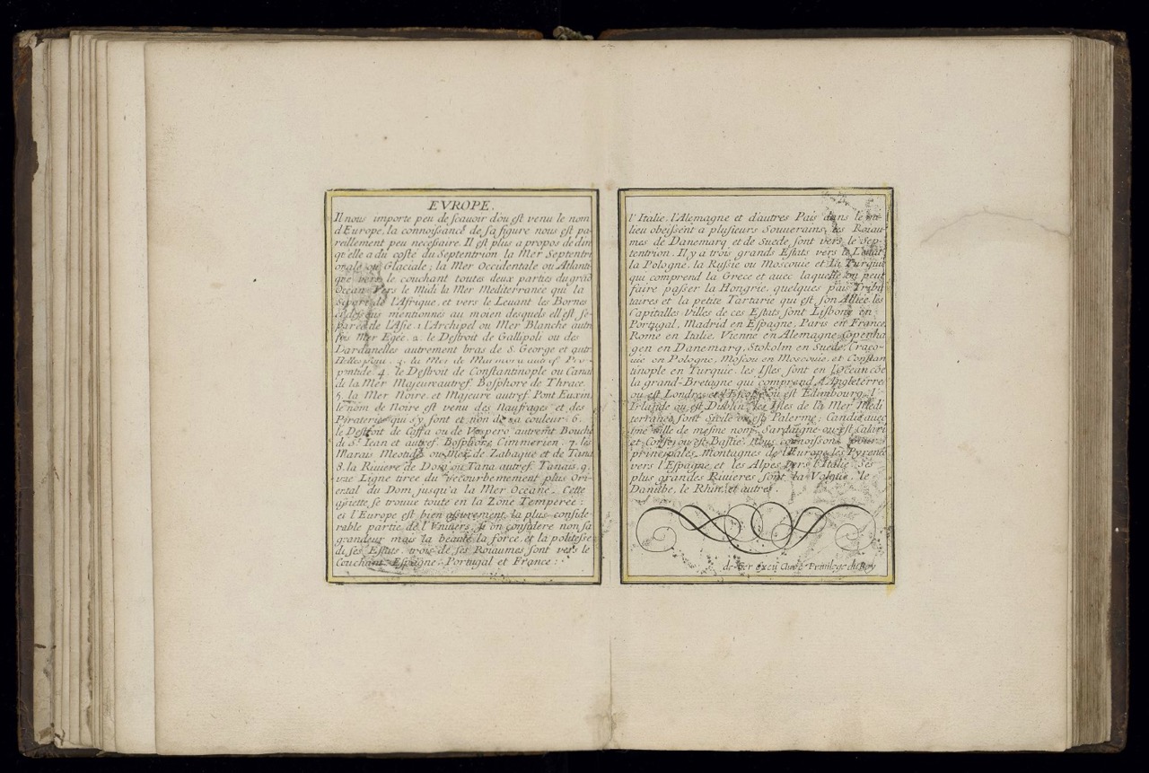
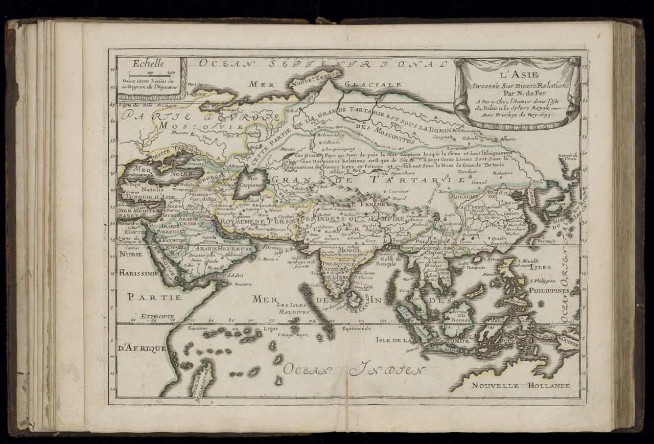
Figures: Frontispiece; pl. 5 (Asie); Text to pl. 6 (Europe); pl. 6 (Europe)
Nicolas de Fer (c. 1647–1720), a prolific engraver and cartographer commissioned to illustrate extensively King Louis XIV’s (1638–1715) territories and possessions in France as well as in the colonies, eventually served as his royal geographer. His Petit et Nouveau Atlas, appearing in further editions in 1705 and 1723, earned great success along with his Atlas curieux où le Monde représenté dans les cartes générales et particulières du Ciel et de la Terre (1700–1705). Petit et Nouveau Atlas includes maps engraved by Charles Inselin (1673–1715), Jean Baptiste Liébaux (?–1725), and Harmanus van Loon (fl. c. 1690–1725), aside from the frontispiece signed by Nicolas Guerard (1648–1719). Most maps are engraved by said Inselin, who was also in charge of engraving the later maps in the Atlas curieux. One cannot help but recall de Fer’s later Introduction à la Géographie, edited together with Philippe de la Hire (1640–1718) in 1717, which contains a short description of the ethnic customs of Little Tartary, also called European Tartary (as opposed to the Great, i.e., Asian Tartary), explicitly termed as a buffer state, in that it is bordered by the Moscovia to the north and intersects the Ottoman Empire. [AT]
Link Kubikat
Link Digitized Volume