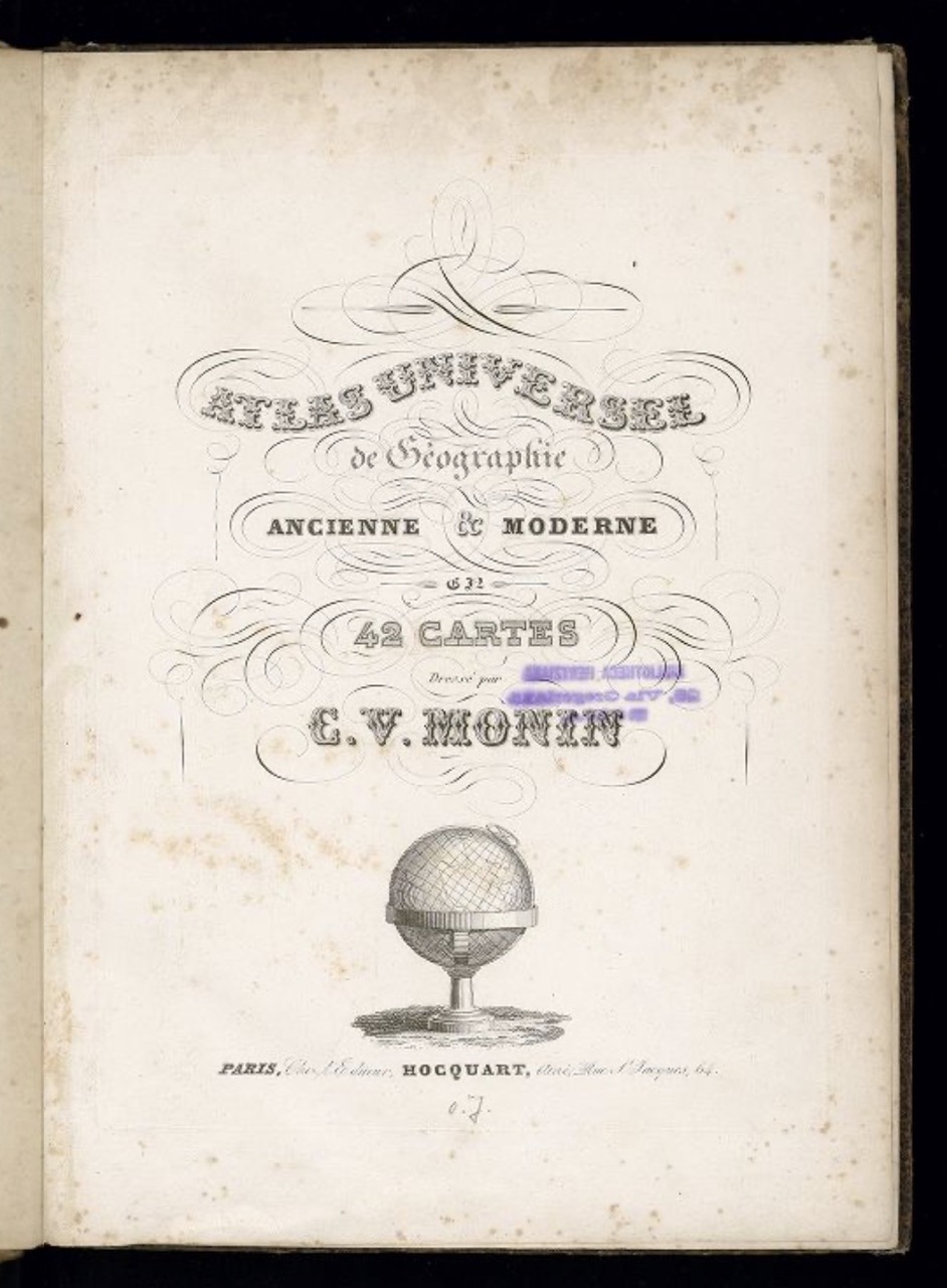
Charles V. Monin: Atlas universel de géographie. Ancienne & Moderne en 42 cartes, Paris: Hocquart, 1840
Signature: Zh 300-4320 raro VII
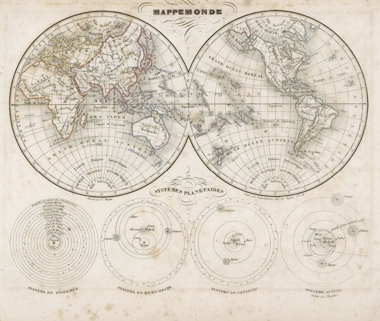
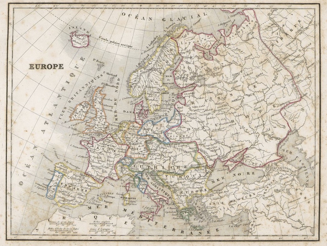
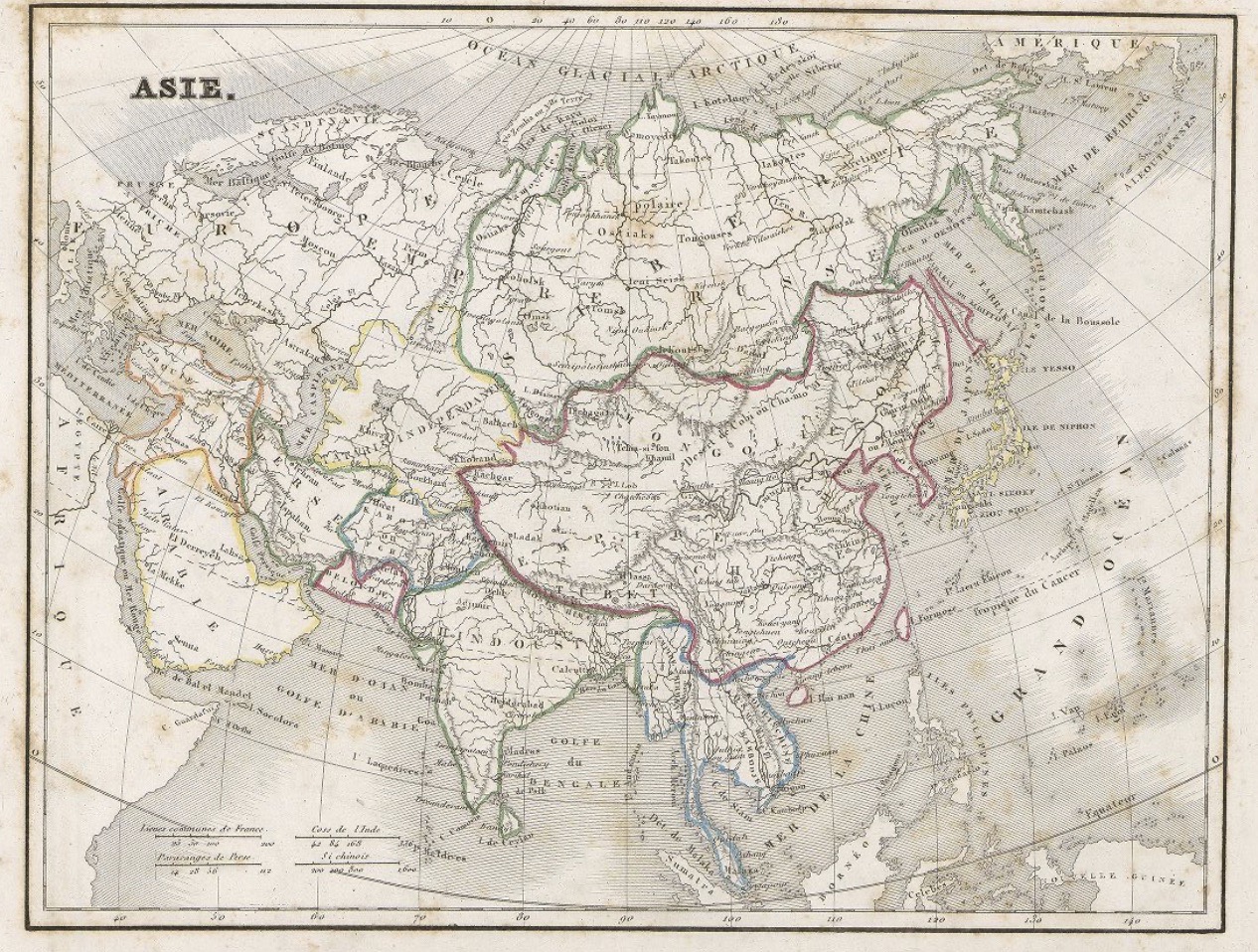
Figures: Frontispiece; Mappemond c. 1; Europe c. 2; Asie c. 16
Only two decades after lithography was invented, at the end of the 18th century, it was applied to cartography, which later led to the appearance of lithographed maps in atlases. It was possible to produce a huge number of prints using steel plates instead of the copper ones used since the 16th century. In the latter case the lifespan of plates was reduced because of the metal’s ductility.
Atlas universel de gèographie, published by Édouard Auguste Patrice Hocquart (1789–1870), was drawn up by the French publisher and cartographer Charles V. Monin. Monin, working in collaboration with two other French editors of maps, Alexandre Vuillemin (1812–1880) and A. R. Fremin (fl. c. 1810–1860), was among of the first to use this new tool. In his workshops in Paris and Caen, Monin produced not only this important atlas but also numerous independent issue maps. [VC]
Link Kubikat
Link Digitized Volume